Haughley village sign
Introduction
The photograph on this page of Haughley village sign by Adrian S Pye as part of the Geograph project.
The Geograph project started in 2005 with the aim of publishing, organising and preserving representative images for every square kilometre of Great Britain, Ireland and the Isle of Man.

There are currently over 7.5m images from over 14,400 individuals and you can help contribute to the project by visiting https://www.geograph.org.uk
Haughley village sign
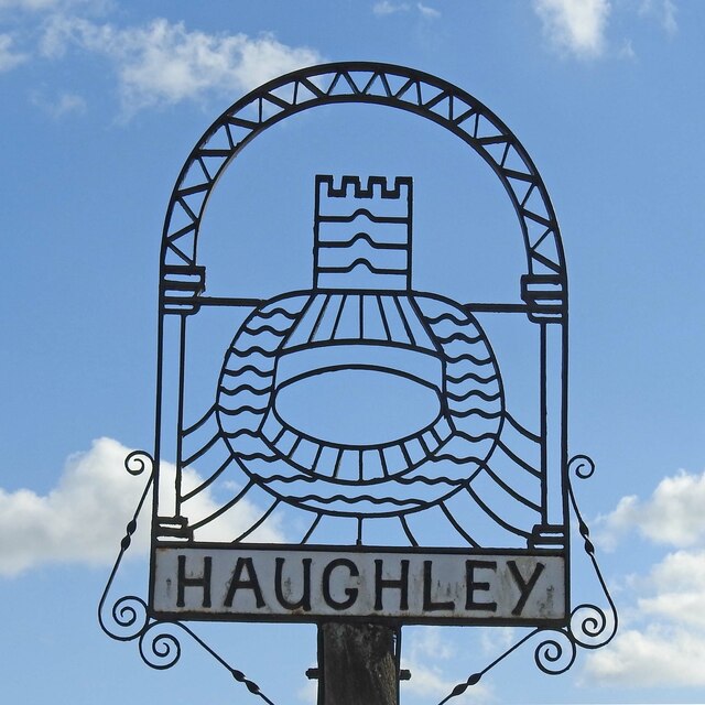
Image: © Adrian S Pye Taken: 26 Feb 2021
Haughley sign depicts a motte and bailey castle built in late 11th century by Hugh de Montfort. The castle was seized by Crown in 1163. Captured after a short siege and destroyed in 1173 by rebels led by the Earl of Leicester, the keeper at the time being Ralph de Broc.” https://www.geograph.org.uk/photo/2206893
Images are licensed for reuse under creativecommons.org/licenses/by-sa/2.0
Image Location
Latitude
52.220414
Longitude
0.96661