Old Boundary Marker on Waldridge Fell
Introduction
The photograph on this page of Old Boundary Marker on Waldridge Fell by Mike Rayner as part of the Geograph project.
The Geograph project started in 2005 with the aim of publishing, organising and preserving representative images for every square kilometre of Great Britain, Ireland and the Isle of Man.

There are currently over 7.5m images from over 14,400 individuals and you can help contribute to the project by visiting https://www.geograph.org.uk
Old Boundary Marker on Waldridge Fell
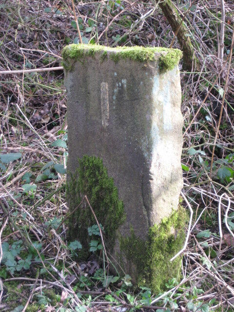
Image: © Mike Rayner Taken: 27 Feb 2021
Parish Boundary Marker on Waldridge Fell, on the south side of a footpath leaving Waldridge Lane. Waldridge parish. On the former boundary of Waldridge and Chester le Street parishes but now entirely in Waldridge parish. Milestone Society National ID: DU_WALDR01pb
Images are licensed for reuse under creativecommons.org/licenses/by-sa/2.0
Image Location


Leaflet Map data © OpenStreetMap
Latitude
54.83695
Longitude
-1.603842