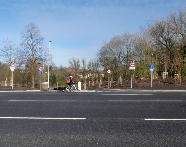
Tan Yard Brow
Introduction
The photograph on this page of Tan Yard Brow by Gerald England as part of the Geograph project.
The Geograph project started in 2005 with the aim of publishing, organising and preserving representative images for every square kilometre of Great Britain, Ireland and the Isle of Man.
There are currently over 7.5m images from over 14,400 individuals and you can help contribute to the project by visiting https://www.geograph.org.uk

Image: © Gerald England Taken: 26 Feb 2021
Tan Yard Brow was part of an ancient North-South route but for many years it was restricted to prevent its use as a rat run. Northbound the lane is blocked off for through traffic at the bridge over Gore Brook. Southbound traffic can only make a left turn Image onto the busy Hyde Road. While Hyde Road was being widened it was blocked off altogether Image Now that work has been completed it has been reopened for access only with a 20mph limit and 7.5 tonne weight limit.

