View of fields on south side of A686 east of Carleton
Introduction
The photograph on this page of View of fields on south side of A686 east of Carleton by Roger Templeman as part of the Geograph project.
The Geograph project started in 2005 with the aim of publishing, organising and preserving representative images for every square kilometre of Great Britain, Ireland and the Isle of Man.

There are currently over 7.5m images from over 14,400 individuals and you can help contribute to the project by visiting https://www.geograph.org.uk
View of fields on south side of A686 east of Carleton
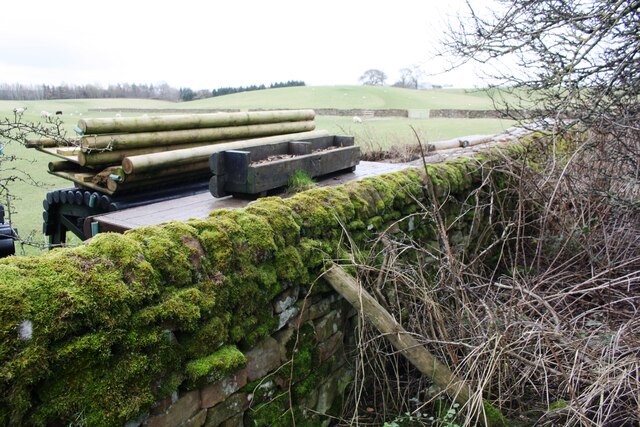
Image: © Roger Templeman Taken: 19 Feb 2020
Old maps show that there was an Ordnance Survey benchmark levelled at 398.7 feet above Liverpool Datum on a wall at this location. Widening of the A686 appears have resulted in the loss of the mark.
Images are licensed for reuse under creativecommons.org/licenses/by-sa/2.0
Image Location
Latitude
54.662129
Longitude
-2.720363