The Cock Road trig
Introduction
The photograph on this page of The Cock Road trig by Neil Owen as part of the Geograph project.
The Geograph project started in 2005 with the aim of publishing, organising and preserving representative images for every square kilometre of Great Britain, Ireland and the Isle of Man.

There are currently over 7.5m images from over 14,400 individuals and you can help contribute to the project by visiting https://www.geograph.org.uk
The Cock Road trig
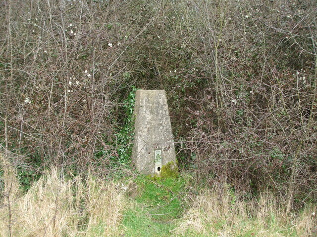
Image: © Neil Owen Taken: 23 Feb 2021
Now set in a public open space and subject to some land management is the triangulation pillar. In the past this spot comprised plain fields with a hedge right behind where the pillar is now. That seem to have been allowed to grow a little. See Image] for the flush bracket.
Images are licensed for reuse under creativecommons.org/licenses/by-sa/2.0
Image Location
Latitude
51.453333
Longitude
-2.490701