The lane after Hollyguest Road
Introduction
The photograph on this page of The lane after Hollyguest Road by Neil Owen as part of the Geograph project.
The Geograph project started in 2005 with the aim of publishing, organising and preserving representative images for every square kilometre of Great Britain, Ireland and the Isle of Man.

There are currently over 7.5m images from over 14,400 individuals and you can help contribute to the project by visiting https://www.geograph.org.uk
The lane after Hollyguest Road
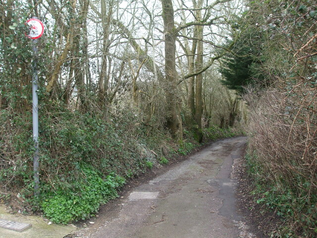
Image: © Neil Owen Taken: 23 Feb 2021
A small lane leads to the park, but prohibits motorcycles. See Image] for a closer look at the unusual sign.
Images are licensed for reuse under creativecommons.org/licenses/by-sa/2.0
Image Location
Latitude
51.450862
Longitude
-2.501036