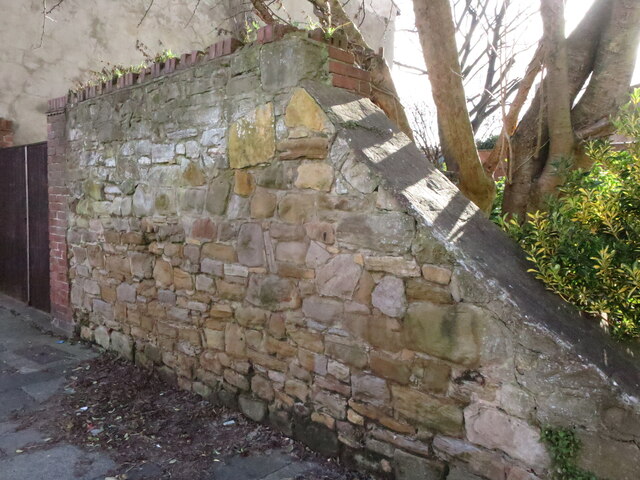
Old Brewery Wall, Relton Terrace, Monkseaton
Introduction
The photograph on this page of Old Brewery Wall, Relton Terrace, Monkseaton by Geoff Holland as part of the Geograph project.
The Geograph project started in 2005 with the aim of publishing, organising and preserving representative images for every square kilometre of Great Britain, Ireland and the Isle of Man.
There are currently over 7.5m images from over 14,400 individuals and you can help contribute to the project by visiting https://www.geograph.org.uk

Image: © Geoff Holland Taken: 25 Feb 2021
Whilst the first mention of a brewery with malting and an adjoining dwelling house appears to have been in an 1803-Newcastle Courant sale advertisement, it is thought that this wall dates to 1683 when a brewery was first built on this site. As such, it is the last remaining evidence of the brewery building that once dominated Monkseaton Village, a building which was described by William Weaver Tomlinson in his 1893 book, 'Historical Notes on Cullercoats Whitley and Monkseaton ' as, "the most conspicuous building in the village, its whitewashed walls and red pantiled roofs catch the eye from many points of view". The brewery continued to operate until shortly after 1934, when it was then sold to Newcastle Breweries who soon demolished it to make way for the present Monkseaton Arms. For a selection of detailed free to download walking routes in the area visit www.northtynesidewalks.co.uk

