Looking north, Balne Lane Fields
Introduction
The photograph on this page of Looking north, Balne Lane Fields by Christine Johnstone as part of the Geograph project.
The Geograph project started in 2005 with the aim of publishing, organising and preserving representative images for every square kilometre of Great Britain, Ireland and the Isle of Man.

There are currently over 7.5m images from over 14,400 individuals and you can help contribute to the project by visiting https://www.geograph.org.uk
Looking north, Balne Lane Fields
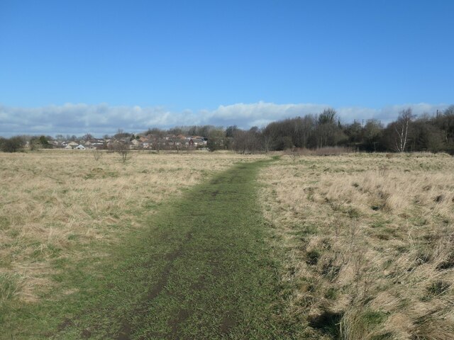
Image: © Christine Johnstone Taken: 26 Feb 2021
In the 1800s Providence Colliery was on the eastern / right-hand boundary of this site.
Images are licensed for reuse under creativecommons.org/licenses/by-sa/2.0
Image Location
Latitude
53.686526
Longitude
-1.511188