Doods Place
Introduction
The photograph on this page of Doods Place by Ian Capper as part of the Geograph project.
The Geograph project started in 2005 with the aim of publishing, organising and preserving representative images for every square kilometre of Great Britain, Ireland and the Isle of Man.

There are currently over 7.5m images from over 14,400 individuals and you can help contribute to the project by visiting https://www.geograph.org.uk
Doods Place
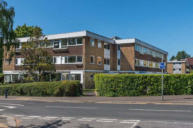
Image: © Ian Capper Taken: 15 May 2020
1960s apartment blocks at the junction of Doods Road and Wray Common Road, built on the site of Little Doods Farm, later known simply as Doods.
Images are licensed for reuse under creativecommons.org/licenses/by-sa/2.0
Image Location
Latitude
51.240812
Longitude
-0.188469