The Way
Introduction
The photograph on this page of The Way by Ian Capper as part of the Geograph project.
The Geograph project started in 2005 with the aim of publishing, organising and preserving representative images for every square kilometre of Great Britain, Ireland and the Isle of Man.

There are currently over 7.5m images from over 14,400 individuals and you can help contribute to the project by visiting https://www.geograph.org.uk
The Way
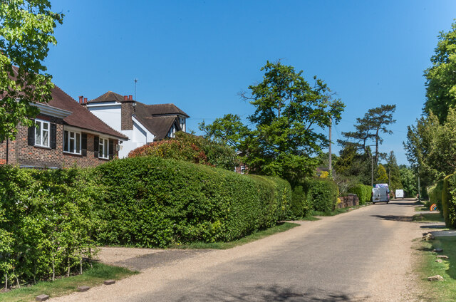
Image: © Ian Capper Taken: 15 May 2020
Cul-de-sac connecting Doods Way with Wray Common. Although originally laid out in the late 19th Century, the initial development was only on the eastern side, with a row of large Edwardian houses. The development of the western side, as seen here, was much later.
Images are licensed for reuse under creativecommons.org/licenses/by-sa/2.0
Image Location
Latitude
51.241857
Longitude
-0.185677