Hedge near the junction of Cellar Hill with Lynsted Lane
Introduction
The photograph on this page of Hedge near the junction of Cellar Hill with Lynsted Lane by pam fray as part of the Geograph project.
The Geograph project started in 2005 with the aim of publishing, organising and preserving representative images for every square kilometre of Great Britain, Ireland and the Isle of Man.

There are currently over 7.5m images from over 14,400 individuals and you can help contribute to the project by visiting https://www.geograph.org.uk
Hedge near the junction of Cellar Hill with Lynsted Lane
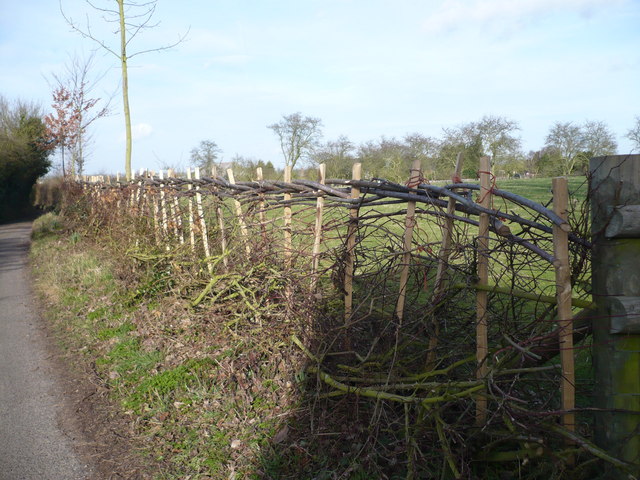
Image: © pam fray Taken: 3 Feb 2008
Lynsted Parish Council's Community hedge for the Millennium, with 14 native species. Planted by the children of Lynsted and Norton School and local residents.
Images are licensed for reuse under creativecommons.org/licenses/by-sa/2.0
Image Location
Latitude
51.32296
Longitude
0.796798