Carr End
Introduction
The photograph on this page of Carr End by Ian Capper as part of the Geograph project.
The Geograph project started in 2005 with the aim of publishing, organising and preserving representative images for every square kilometre of Great Britain, Ireland and the Isle of Man.

There are currently over 7.5m images from over 14,400 individuals and you can help contribute to the project by visiting https://www.geograph.org.uk
Carr End
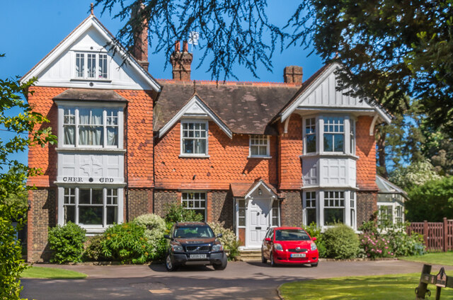
Image: © Ian Capper Taken: 15 May 2020
Large house in Doods Way designed by local architect Albert Venner, dating from 1885.
Images are licensed for reuse under creativecommons.org/licenses/by-sa/2.0
Image Location
Latitude
51.241217
Longitude
-0.187321