Tolladine Road and path
Introduction
The photograph on this page of Tolladine Road and path by Chris Allen as part of the Geograph project.
The Geograph project started in 2005 with the aim of publishing, organising and preserving representative images for every square kilometre of Great Britain, Ireland and the Isle of Man.

There are currently over 7.5m images from over 14,400 individuals and you can help contribute to the project by visiting https://www.geograph.org.uk
Tolladine Road and path
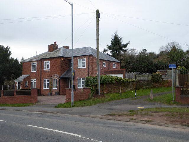
Image: © Chris Allen Taken: 23 Feb 2021
The path to the right leads to Elbury Park Road and on crossing that road leads up to the top of Elbury Mount, one of the highest points in Worcester.
Images are licensed for reuse under creativecommons.org/licenses/by-sa/2.0
Image Location
Latitude
52.200548
Longitude
-2.189726