Warndon Green, Worcester
Introduction
The photograph on this page of Warndon Green, Worcester by Chris Allen as part of the Geograph project.
The Geograph project started in 2005 with the aim of publishing, organising and preserving representative images for every square kilometre of Great Britain, Ireland and the Isle of Man.

There are currently over 7.5m images from over 14,400 individuals and you can help contribute to the project by visiting https://www.geograph.org.uk
Warndon Green, Worcester
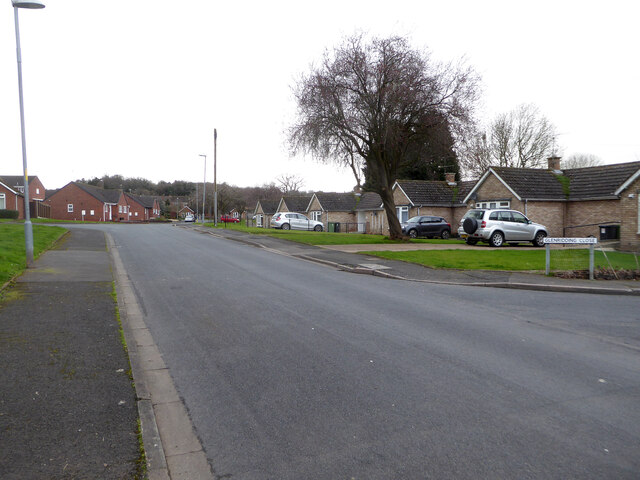
Image: © Chris Allen Taken: 23 Feb 2021
The sign on the right for Glenridding Close refers to a street that is out of sight to the right and perpendicular to the view direction. On this occasion the sign does not refer to the road I am photographing.
Images are licensed for reuse under creativecommons.org/licenses/by-sa/2.0
Image Location
Latitude
52.204509
Longitude
-2.186231