Bridge abutment
Introduction
The photograph on this page of Bridge abutment by Jonathan Thacker as part of the Geograph project.
The Geograph project started in 2005 with the aim of publishing, organising and preserving representative images for every square kilometre of Great Britain, Ireland and the Isle of Man.

There are currently over 7.5m images from over 14,400 individuals and you can help contribute to the project by visiting https://www.geograph.org.uk
Bridge abutment
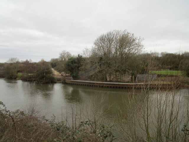
Image: © Jonathan Thacker Taken: 23 Feb 2021
A bridge here crossed the River Trent carrying a railway which linked the Midland and Great Northern systems in Newark. This fell into disuse in the early 1970s and was subsequently demolished. The track at the side is a temporary roadway providing access to Newark Weir where a hydro-electric power scheme is being constructed.
Images are licensed for reuse under creativecommons.org/licenses/by-sa/2.0
Image Location
Latitude
53.084243
Longitude
-0.805728