To the Woods
Introduction
The photograph on this page of To the Woods by Anthony O'Neil as part of the Geograph project.
The Geograph project started in 2005 with the aim of publishing, organising and preserving representative images for every square kilometre of Great Britain, Ireland and the Isle of Man.

There are currently over 7.5m images from over 14,400 individuals and you can help contribute to the project by visiting https://www.geograph.org.uk
To the Woods
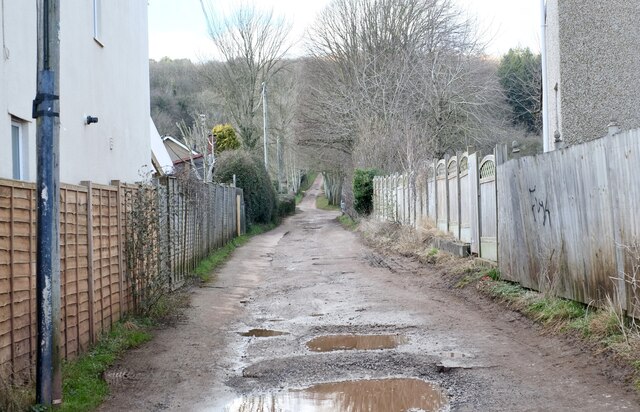
Image: © Anthony O'Neil Taken: 22 Feb 2021
Keeds Lane, Long Ashton: follows 'The Monarch's Way' - a signed complex of paths stretching over 600 miles from Worcester to the South Coast. It commemorates the route taken by the future Charles II escaping (disguised) from the final battle of the Civil War and in pursuit of safe passage to France. It was hoped a ship would be found at Bristol, so the Royal refugee stayed briefly at nearby Leigh Court, having travelled from Dundry northwards via Long Ashton. But no local vessel was bound for France, at the time, so the clandestine journey continued until one was eventually secured in Sussex.
Images are licensed for reuse under creativecommons.org/licenses/by-sa/2.0
Image Location
Latitude
51.430775
Longitude
-2.669979