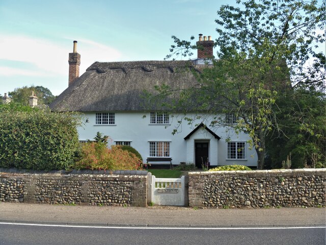
Horringer houses [12]
Introduction
The photograph on this page of Horringer houses [12] by Michael Dibb as part of the Geograph project.
The Geograph project started in 2005 with the aim of publishing, organising and preserving representative images for every square kilometre of Great Britain, Ireland and the Isle of Man.
There are currently over 7.5m images from over 14,400 individuals and you can help contribute to the project by visiting https://www.geograph.org.uk

Image: © Michael Dibb Taken: 15 Sep 2020
The Old House, The Street began as one house, was divided into two, one part of which became a public house, and is now one house again. Built in the 16th century, incorporating an earlier structure, timber framed and plastered. A bay was added on the left circa 1600 and a bay was added on the right circa 1700. The public house was the King William IV. For many years the village post office was in the lean-to addition. Listed, grade II, with details at: https://historicengland.org.uk/listing/the-list/list-entry/1298945 The small village of Horringer, earlier known as Horningsheath lies astride the A143 road some two miles south west of Bury St Edmunds. The village includes the main entrance to Ickworth Park. There was once three blacksmiths’ forges in the village.

