Wetheral Cross
Introduction
The photograph on this page of Wetheral Cross by Adrian Taylor as part of the Geograph project.
The Geograph project started in 2005 with the aim of publishing, organising and preserving representative images for every square kilometre of Great Britain, Ireland and the Isle of Man.

There are currently over 7.5m images from over 14,400 individuals and you can help contribute to the project by visiting https://www.geograph.org.uk
Wetheral Cross
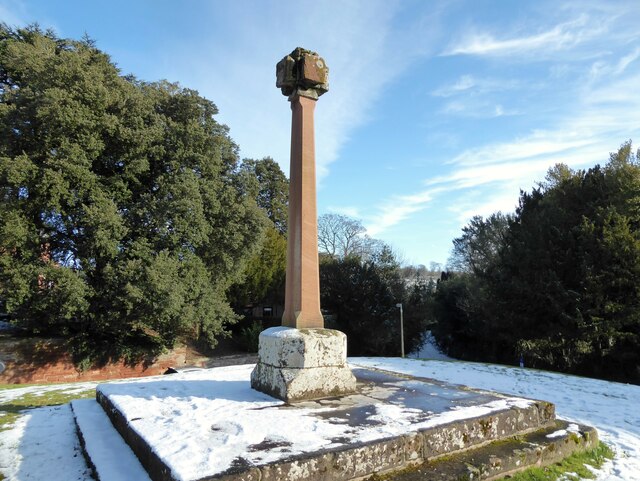
Image: © Adrian Taylor Taken: 11 Feb 2021
Wetheral Cross is a Grade II listed structure. The steps and plinth were formerly the base for a wooden maypole but the stone shaft and cross were added when the steps and plinth were moved to their present position from the centre of the village green in about 1844. There is an Ordnance Survey pivot benchmark visible on the plinth (photograph Image).
Images are licensed for reuse under creativecommons.org/licenses/by-sa/2.0
Image Location
Latitude
54.881134
Longitude
-2.83306