The Old Barn Westown Bothenhampton
Introduction
The photograph on this page of The Old Barn Westown Bothenhampton by Nigel Mykura as part of the Geograph project.
The Geograph project started in 2005 with the aim of publishing, organising and preserving representative images for every square kilometre of Great Britain, Ireland and the Isle of Man.

There are currently over 7.5m images from over 14,400 individuals and you can help contribute to the project by visiting https://www.geograph.org.uk
The Old Barn Westown Bothenhampton
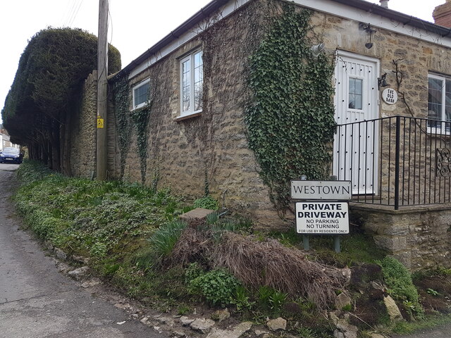
Image: © Nigel Mykura Taken: 18 Feb 2021
This converted barn is on the corner of Westown and Hollow Way and about 50 m west of the junction with Crock Lane. Approximately 1m east of the corner of the building there is a cut benchmark on a stone at ground level. This can be seen in Image
Images are licensed for reuse under creativecommons.org/licenses/by-sa/2.0
Image Location
Latitude
50.724382
Longitude
-2.75222