Munro House
Introduction
The photograph on this page of Munro House by Ian Capper as part of the Geograph project.
The Geograph project started in 2005 with the aim of publishing, organising and preserving representative images for every square kilometre of Great Britain, Ireland and the Isle of Man.

There are currently over 7.5m images from over 14,400 individuals and you can help contribute to the project by visiting https://www.geograph.org.uk
Munro House
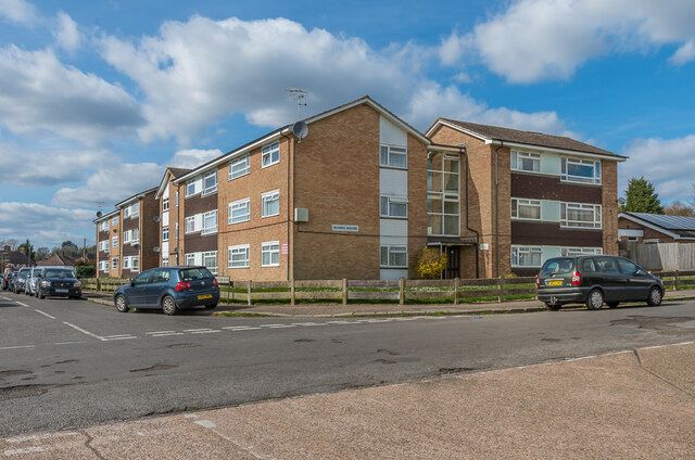
Image: © Ian Capper Taken: 3 Apr 2020
c1960s apartment block in Stockton Road in South Park by its junction with Lyndhurst Road, replacing previous c1020s housing.
Images are licensed for reuse under creativecommons.org/licenses/by-sa/2.0
Image Location
Latitude
51.22329
Longitude
-0.208103