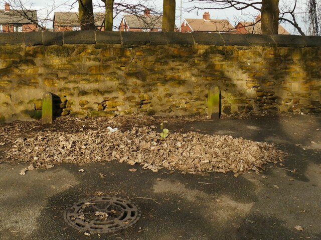
Hunslet cemetery - boundary stones
Introduction
The photograph on this page of Hunslet cemetery - boundary stones by Stephen Craven as part of the Geograph project.
The Geograph project started in 2005 with the aim of publishing, organising and preserving representative images for every square kilometre of Great Britain, Ireland and the Isle of Man.
There are currently over 7.5m images from over 14,400 individuals and you can help contribute to the project by visiting https://www.geograph.org.uk

Image: © Stephen Craven Taken: 21 Feb 2021
There are several of these simple stones marked "BS" around the perimeter of the western cemetery. They seem unnecessary but may be a relic of the site's former use as the grounds of Belmont House. Beyond the wall is a cutting that was once the route of the GNR's Hunslet branch railway but now the M621.

