Anatola Road
Introduction
The photograph on this page of Anatola Road by Martin Addison as part of the Geograph project.
The Geograph project started in 2005 with the aim of publishing, organising and preserving representative images for every square kilometre of Great Britain, Ireland and the Isle of Man.

There are currently over 7.5m images from over 14,400 individuals and you can help contribute to the project by visiting https://www.geograph.org.uk
Anatola Road
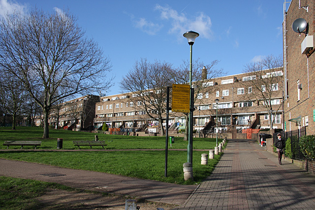
Image: © Martin Addison Taken: 1 Feb 2008
Looking across the open space between Girdlestone Walk and Anatola Road to the flats located on the latter. In reality this 'road' is a pedestrian area with access provided via a barrier for authorised vehicles, such as dustcarts, only.
Images are licensed for reuse under creativecommons.org/licenses/by-sa/2.0
Image Location
Latitude
51.564919
Longitude
-0.137107