Trans Pennine Trail marker Royston
Introduction
The photograph on this page of Trans Pennine Trail marker Royston by Steve Fareham as part of the Geograph project.
The Geograph project started in 2005 with the aim of publishing, organising and preserving representative images for every square kilometre of Great Britain, Ireland and the Isle of Man.

There are currently over 7.5m images from over 14,400 individuals and you can help contribute to the project by visiting https://www.geograph.org.uk
Trans Pennine Trail marker Royston
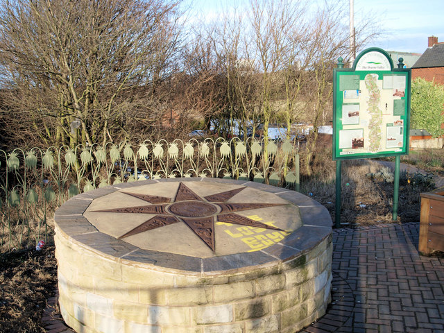
Image: © Steve Fareham Taken: 2 Feb 2008
Entrance to the Trans Pennine trail which follows the Barnsley Canal, this stretch of the canal from here to Walton is practically intact.
Images are licensed for reuse under creativecommons.org/licenses/by-sa/2.0
Image Location
Latitude
53.600553
Longitude
-1.439345