The end of Grassington Drive, Warndon, Worcester
Introduction
The photograph on this page of The end of Grassington Drive, Warndon, Worcester by Chris Allen as part of the Geograph project.
The Geograph project started in 2005 with the aim of publishing, organising and preserving representative images for every square kilometre of Great Britain, Ireland and the Isle of Man.

There are currently over 7.5m images from over 14,400 individuals and you can help contribute to the project by visiting https://www.geograph.org.uk
The end of Grassington Drive, Warndon, Worcester
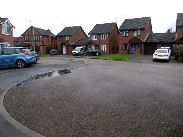
Image: © Chris Allen Taken: 20 Feb 2021
The roads in this part of the estate are all named after places in Yorkshire. Seen from the short path linking it to the B4637 Middle Hollow Drive.
Images are licensed for reuse under creativecommons.org/licenses/by-sa/2.0
Image Location
Latitude
52.202174
Longitude
-2.184905