Houses at the northern end of Watts Drive
Introduction
The photograph on this page of Houses at the northern end of Watts Drive by Richard Law as part of the Geograph project.
The Geograph project started in 2005 with the aim of publishing, organising and preserving representative images for every square kilometre of Great Britain, Ireland and the Isle of Man.

There are currently over 7.5m images from over 14,400 individuals and you can help contribute to the project by visiting https://www.geograph.org.uk
Houses at the northern end of Watts Drive
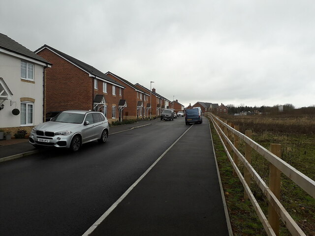
Image: © Richard Law Taken: 15 Feb 2021
The northernmost limit of the extensive Burlington Fields development; the M54 lies not too far offshot to the right at the far side of the field.
Images are licensed for reuse under creativecommons.org/licenses/by-sa/2.0
Image Location
Latitude
52.677483
Longitude
-2.372972