Charman Road
Introduction
The photograph on this page of Charman Road by Ian Capper as part of the Geograph project.
The Geograph project started in 2005 with the aim of publishing, organising and preserving representative images for every square kilometre of Great Britain, Ireland and the Isle of Man.

There are currently over 7.5m images from over 14,400 individuals and you can help contribute to the project by visiting https://www.geograph.org.uk
Charman Road
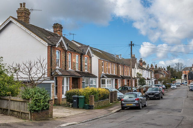
Image: © Ian Capper Taken: 1 Mar 2020
Late Victorian/early 20th Century housing in Charman Road. The nearest two plaques are inscribed "Fengate Villas" and "Florence Villas".
Images are licensed for reuse under creativecommons.org/licenses/by-sa/2.0
Image Location
Latitude
51.238728
Longitude
-0.176502