10, 12 - 18 and 20 - 20c Linkfield Street
Introduction
The photograph on this page of 10, 12 - 18 and 20 - 20c Linkfield Street by Ian Capper as part of the Geograph project.
The Geograph project started in 2005 with the aim of publishing, organising and preserving representative images for every square kilometre of Great Britain, Ireland and the Isle of Man.

There are currently over 7.5m images from over 14,400 individuals and you can help contribute to the project by visiting https://www.geograph.org.uk
10, 12 - 18 and 20 - 20c Linkfield Street
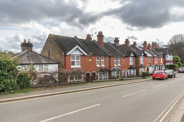
Image: © Ian Capper Taken: 1 Mar 2020
Victorian (no 10) and early 20th Century housing (the others) in Linkfield Street. The four plaques read from left to right: "1905", "Brandon Cottage", "Hilborough Cottages" and "1905".
Images are licensed for reuse under creativecommons.org/licenses/by-sa/2.0
Image Location
Latitude
51.238823
Longitude
-0.175639