Tarred footpath to Queensway Old Dalby
Introduction
The photograph on this page of Tarred footpath to Queensway Old Dalby by Tim Heaton as part of the Geograph project.
The Geograph project started in 2005 with the aim of publishing, organising and preserving representative images for every square kilometre of Great Britain, Ireland and the Isle of Man.

There are currently over 7.5m images from over 14,400 individuals and you can help contribute to the project by visiting https://www.geograph.org.uk
Tarred footpath to Queensway Old Dalby
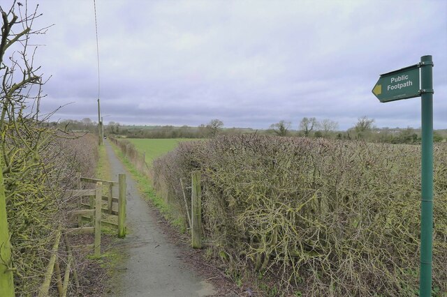
Image: © Tim Heaton Taken: 19 Feb 2021
With street lights. This good quality footpath was presumably designed to give residents of the former army base at Queensway Old Dalby easier access to Nether Broughton, with its pubs and main bus route.
Images are licensed for reuse under creativecommons.org/licenses/by-sa/2.0
Image Location
Latitude
52.819339
Longitude
-0.971633