Open Space at Howbery Park
Introduction
The photograph on this page of Open Space at Howbery Park by Des Blenkinsopp as part of the Geograph project.
The Geograph project started in 2005 with the aim of publishing, organising and preserving representative images for every square kilometre of Great Britain, Ireland and the Isle of Man.

There are currently over 7.5m images from over 14,400 individuals and you can help contribute to the project by visiting https://www.geograph.org.uk
Open Space at Howbery Park
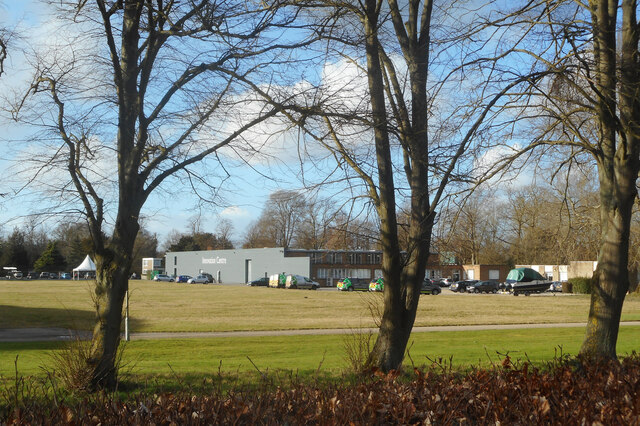
Image: © Des Blenkinsopp Taken: 18 Feb 2021
Howbery Park is run by HR Wallingford, previously known as the Hydraulics Research Station. Part of their work used to involve the construction and testing of model water related structures and environments such as harbours, beaches, flood controls etc. Experimental models were subjected to waves, tides, currents and such like generated by various machines. This took up a lot of space and was done in a large building which used to occupy most of what is now a grassy open area. Following a move away from that type of work, the building was demolished and as yet the site hasn't been redeveloped.
Images are licensed for reuse under creativecommons.org/licenses/by-sa/2.0
Image Location


Leaflet Map data © OpenStreetMap
Latitude
51.606182
Longitude
-1.110023