Rhydwaedlyd Brook
Introduction
The photograph on this page of Rhydwaedlyd Brook by Alan Hughes as part of the Geograph project.
The Geograph project started in 2005 with the aim of publishing, organising and preserving representative images for every square kilometre of Great Britain, Ireland and the Isle of Man.

There are currently over 7.5m images from over 14,400 individuals and you can help contribute to the project by visiting https://www.geograph.org.uk
Rhydwaedlyd Brook
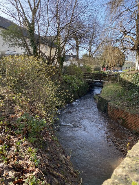
Image: © Alan Hughes Taken: 18 Feb 2021
A swift-flowing brook which is prone to flooding after heavy rain. See also Image] for the balancing pond constructed quite recently in Caedelyn Park.
Images are licensed for reuse under creativecommons.org/licenses/by-sa/2.0
Image Location
Latitude
51.521827
Longitude
-3.212109