Back Lane, Long Lawford
Introduction
The photograph on this page of Back Lane, Long Lawford by Stephen McKay as part of the Geograph project.
The Geograph project started in 2005 with the aim of publishing, organising and preserving representative images for every square kilometre of Great Britain, Ireland and the Isle of Man.

There are currently over 7.5m images from over 14,400 individuals and you can help contribute to the project by visiting https://www.geograph.org.uk
Back Lane, Long Lawford
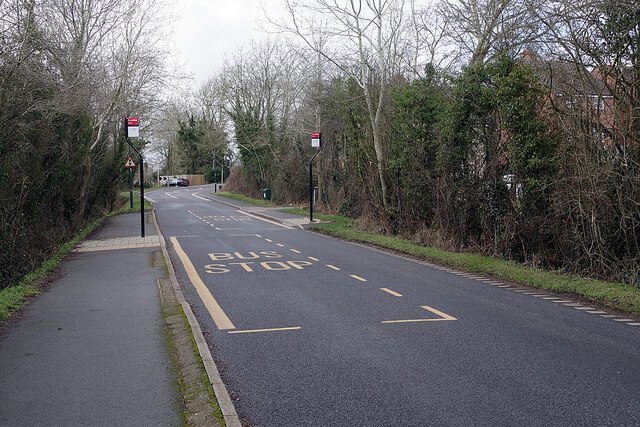
Image: © Stephen McKay Taken: 18 Feb 2021
Back Lane leads into the centre of Long Lawford village; immediately ahead it swings to the right and across a railway bridge where traffic is controlled with lights. The bus stops are used by the Rugby - Coventry service; note that raised pavements are provided to ease access to the vehicles.
Images are licensed for reuse under creativecommons.org/licenses/by-sa/2.0
Image Location
Latitude
52.377844
Longitude
-1.306579