Markeaton Park
Introduction
The photograph on this page of Markeaton Park by Malcolm Neal as part of the Geograph project.
The Geograph project started in 2005 with the aim of publishing, organising and preserving representative images for every square kilometre of Great Britain, Ireland and the Isle of Man.

There are currently over 7.5m images from over 14,400 individuals and you can help contribute to the project by visiting https://www.geograph.org.uk
Markeaton Park
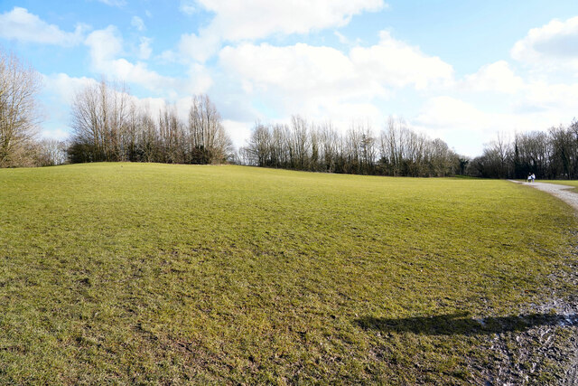
Image: © Malcolm Neal Taken: 18 Feb 2021
Beyond the trees is Derby Outer Ring Road and the Kedleston Road. The grass as you can see is quite wet.
Images are licensed for reuse under creativecommons.org/licenses/by-sa/2.0
Image Location
Latitude
52.934659
Longitude
-1.500207