Markeaton Park
Introduction
The photograph on this page of Markeaton Park by Malcolm Neal as part of the Geograph project.
The Geograph project started in 2005 with the aim of publishing, organising and preserving representative images for every square kilometre of Great Britain, Ireland and the Isle of Man.

There are currently over 7.5m images from over 14,400 individuals and you can help contribute to the project by visiting https://www.geograph.org.uk
Markeaton Park
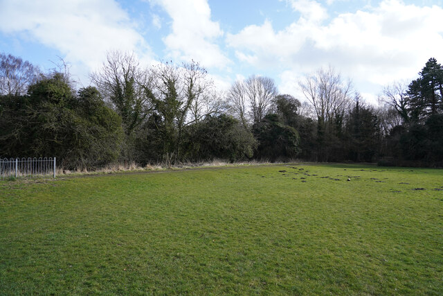
Image: © Malcolm Neal Taken: 18 Feb 2021
The path here splits, one branch going to the left to Kedleston Road and then the university, the other branch goes through the trees and turns to run along the eastern edge of the park.
Images are licensed for reuse under creativecommons.org/licenses/by-sa/2.0
Image Location
Latitude
52.935739
Longitude
-1.500641