The M6 motorway at Shap
Introduction
The photograph on this page of The M6 motorway at Shap by Philip Halling as part of the Geograph project.
The Geograph project started in 2005 with the aim of publishing, organising and preserving representative images for every square kilometre of Great Britain, Ireland and the Isle of Man.

There are currently over 7.5m images from over 14,400 individuals and you can help contribute to the project by visiting https://www.geograph.org.uk
The M6 motorway at Shap
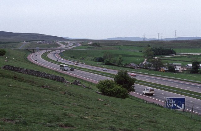
Image: © Philip Halling Taken: 8 Jun 1991
View south along the M6 motorway as it approaches junction 39 for Shap. Viewed here from Wainwright's Coast to Coast Walk.
Images are licensed for reuse under creativecommons.org/licenses/by-sa/2.0
Image Location
Latitude
54.517452
Longitude
-2.654786