Severn Way near Stourport-on-Severn, Worcs
Introduction
The photograph on this page of Severn Way near Stourport-on-Severn, Worcs by P L Chadwick as part of the Geograph project.
The Geograph project started in 2005 with the aim of publishing, organising and preserving representative images for every square kilometre of Great Britain, Ireland and the Isle of Man.

There are currently over 7.5m images from over 14,400 individuals and you can help contribute to the project by visiting https://www.geograph.org.uk
Severn Way near Stourport-on-Severn, Worcs
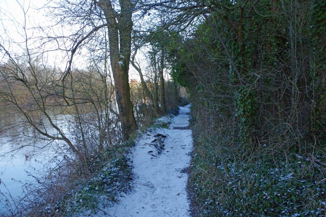
Image: © P L Chadwick Taken: 10 Feb 2021
The Severn Way is a long distance footpath, which mainly runs adjacent to the River Severn. Here is heading for Stourport's canal basins.
Images are licensed for reuse under creativecommons.org/licenses/by-sa/2.0
Image Location
Latitude
52.332358
Longitude
-2.274819