Eastern Barn
Introduction
The photograph on this page of Eastern Barn by Chris Thomas-Atkin as part of the Geograph project.
The Geograph project started in 2005 with the aim of publishing, organising and preserving representative images for every square kilometre of Great Britain, Ireland and the Isle of Man.

There are currently over 7.5m images from over 14,400 individuals and you can help contribute to the project by visiting https://www.geograph.org.uk
Eastern Barn
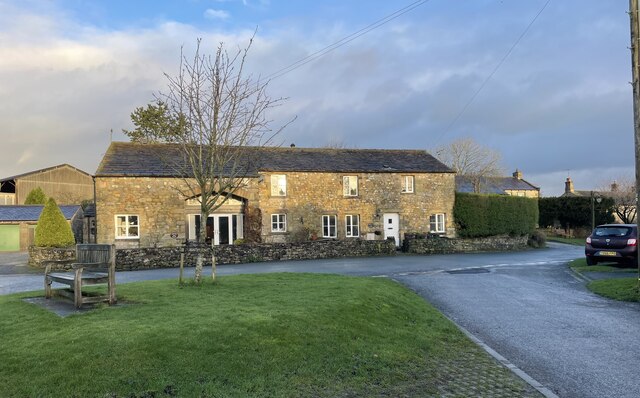
Image: © Chris Thomas-Atkin Taken: 15 Dec 2020
Eastern Barn in Airton is a Grade II listed building. See https://historicengland.org.uk/listing/the-list/list-entry/1296791
Images are licensed for reuse under creativecommons.org/licenses/by-sa/2.0
Image Location
Latitude
54.027616
Longitude
-2.152617