The former slate quarrying village of Llanrug viewed from the slopes of Cefn Du
Introduction
The photograph on this page of The former slate quarrying village of Llanrug viewed from the slopes of Cefn Du by Eric Jones as part of the Geograph project.
The Geograph project started in 2005 with the aim of publishing, organising and preserving representative images for every square kilometre of Great Britain, Ireland and the Isle of Man.

There are currently over 7.5m images from over 14,400 individuals and you can help contribute to the project by visiting https://www.geograph.org.uk
The former slate quarrying village of Llanrug viewed from the slopes of Cefn Du
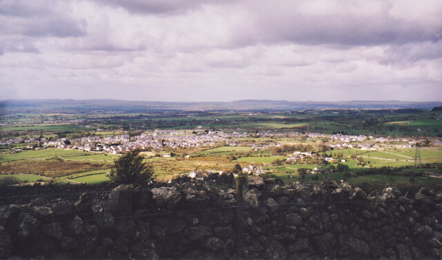
Image: © Eric Jones Taken: 13 Apr 1998
Llanrug remains a commuter village, but the movement is nowadays towards the coastal centres of Caernarfon and Bangor.
Images are licensed for reuse under creativecommons.org/licenses/by-sa/2.0
Image Location
Latitude
53.146656
Longitude
-4.191043