Road near Pantyffynnon Farm
Introduction
The photograph on this page of Road near Pantyffynnon Farm by Alan Hughes as part of the Geograph project.
The Geograph project started in 2005 with the aim of publishing, organising and preserving representative images for every square kilometre of Great Britain, Ireland and the Isle of Man.

There are currently over 7.5m images from over 14,400 individuals and you can help contribute to the project by visiting https://www.geograph.org.uk
Road near Pantyffynnon Farm
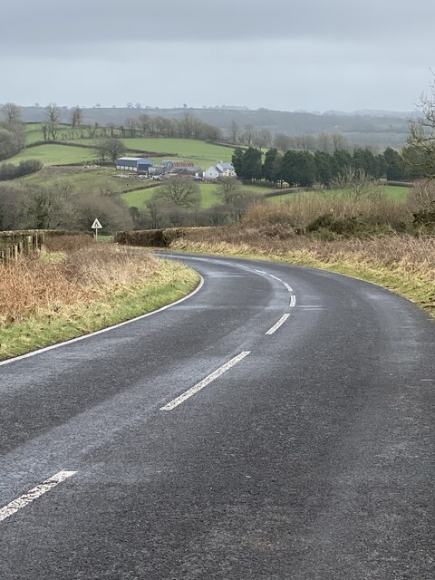
Image: © Alan Hughes Taken: 15 Feb 2021
This section of the road as far as the bend was re-routed when the A48 trunk road was developed.
Images are licensed for reuse under creativecommons.org/licenses/by-sa/2.0
Image Location


Leaflet Map data © OpenStreetMap
Latitude
51.832418
Longitude
-4.177598