Unclassified road down to Tannadice
Introduction
The photograph on this page of Unclassified road down to Tannadice by Lloyd Housley as part of the Geograph project.
The Geograph project started in 2005 with the aim of publishing, organising and preserving representative images for every square kilometre of Great Britain, Ireland and the Isle of Man.

There are currently over 7.5m images from over 14,400 individuals and you can help contribute to the project by visiting https://www.geograph.org.uk
Unclassified road down to Tannadice
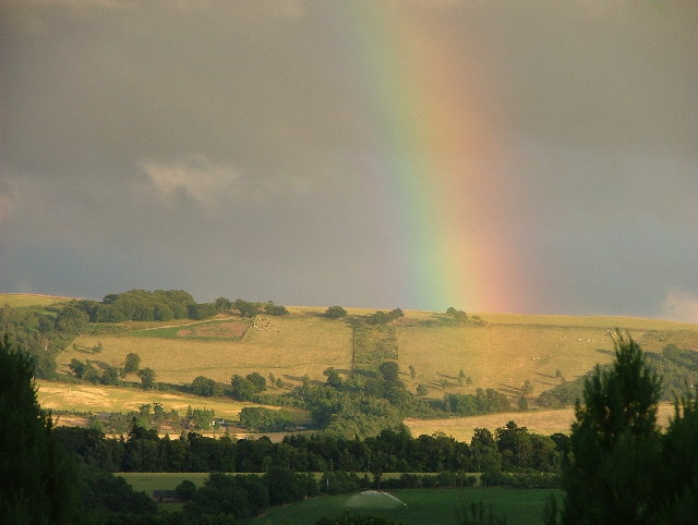
Image: © Lloyd Housley Taken: 2 Aug 2005
Evening rainbow over the Hill of Finavon in the distance.
Images are licensed for reuse under creativecommons.org/licenses/by-sa/2.0
Image Location


Leaflet Map data © OpenStreetMap
Latitude
56.716084
Longitude
-2.864209