Diversion of footpath Bushey 40 towards Hilfield Lane
Introduction
The photograph on this page of Diversion of footpath Bushey 40 towards Hilfield Lane by Robin Webster as part of the Geograph project.
The Geograph project started in 2005 with the aim of publishing, organising and preserving representative images for every square kilometre of Great Britain, Ireland and the Isle of Man.

There are currently over 7.5m images from over 14,400 individuals and you can help contribute to the project by visiting https://www.geograph.org.uk
Diversion of footpath Bushey 40 towards Hilfield Lane
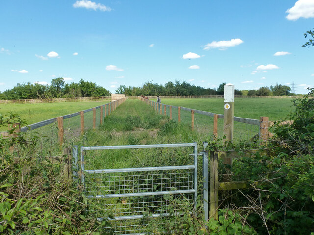
Image: © Robin Webster Taken: 7 Jun 2015
The sign points diagonally across the field on the left, and maps then and now show the route that way, but there is no way across the fence. It looks very much like an unofficial diversion around the field, unkempt at that.
Images are licensed for reuse under creativecommons.org/licenses/by-sa/2.0
Image Location
Latitude
51.646718
Longitude
-0.338716