Development, Moor Lane (3)
Introduction
The photograph on this page of Development, Moor Lane (3) by Stephen Richards as part of the Geograph project.
The Geograph project started in 2005 with the aim of publishing, organising and preserving representative images for every square kilometre of Great Britain, Ireland and the Isle of Man.

There are currently over 7.5m images from over 14,400 individuals and you can help contribute to the project by visiting https://www.geograph.org.uk
Development, Moor Lane (3)
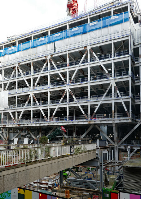
Image: © Stephen Richards Taken: 13 Feb 2021
For the new Liverpool Street Elizabeth Line (aka Crossrail) station, about four years on from Image These upper stages will probably offer shops or offices or a lifestyle. Or something. The defunct walkway has been adorned with lots of pot plants.
Images are licensed for reuse under creativecommons.org/licenses/by-sa/2.0
Image Location
Latitude
51.518579
Longitude
-0.090568