Hatherton canal branch east of Oak Lane in 1986
Introduction
The photograph on this page of Hatherton canal branch east of Oak Lane in 1986 by Trevor Littlewood as part of the Geograph project.
The Geograph project started in 2005 with the aim of publishing, organising and preserving representative images for every square kilometre of Great Britain, Ireland and the Isle of Man.

There are currently over 7.5m images from over 14,400 individuals and you can help contribute to the project by visiting https://www.geograph.org.uk
Hatherton canal branch east of Oak Lane in 1986
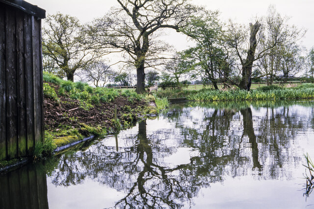
Image: © Trevor Littlewood Taken: 10 May 1986
This is the canal route east of the bridge carrying Oak Lane over the water. Between the two largest trees there's an inlet allowing a water supply for the canal. This branch, (of the Staffs and Worcester Canal), was abandoned in 1955 but for many years a restoration has been ongoing which is a significant undertaking involving some realignment of the original route - https://www.lhcrt.org.uk.
Images are licensed for reuse under creativecommons.org/licenses/by-sa/2.0
Image Location
Latitude
52.67858
Longitude
-2.083969