Cleared area at Newton Burrows
Introduction
The photograph on this page of Cleared area at Newton Burrows by eswales as part of the Geograph project.
The Geograph project started in 2005 with the aim of publishing, organising and preserving representative images for every square kilometre of Great Britain, Ireland and the Isle of Man.

There are currently over 7.5m images from over 14,400 individuals and you can help contribute to the project by visiting https://www.geograph.org.uk
Cleared area at Newton Burrows
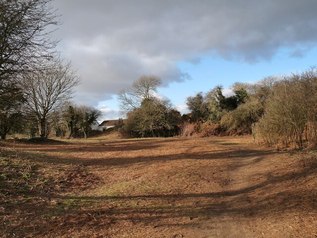
Image: © eswales Taken: 10 Feb 2021
Area of duneland immediately to the south of Danygraig which has been cleared of bracken and other vegetation.
Images are licensed for reuse under creativecommons.org/licenses/by-sa/2.0
Image Location
Latitude
51.484227
Longitude
-3.667229