Waste ground at junction in Tentercroft Street with County Council building in background
Introduction
The photograph on this page of Waste ground at junction in Tentercroft Street with County Council building in background by phil Richards as part of the Geograph project.
The Geograph project started in 2005 with the aim of publishing, organising and preserving representative images for every square kilometre of Great Britain, Ireland and the Isle of Man.

There are currently over 7.5m images from over 14,400 individuals and you can help contribute to the project by visiting https://www.geograph.org.uk
Waste ground at junction in Tentercroft Street with County Council building in background
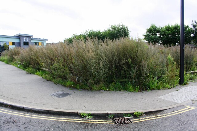
Image: © phil Richards Taken: 11 Sep 2019
Ordnance Survey records indicate that in 1950 a benchmark was levelled at 6.385m above Newlyn Datum on #45 Tentercroft Street at this location. The mark is described on the Bench Mark Database at www.bench-marks.org.uk/bm40456
Images are licensed for reuse under creativecommons.org/licenses/by-sa/2.0
Image Location
Latitude
53.224473
Longitude
-0.538943