Pavilion, Loppets Road Playing Fields
Introduction
The photograph on this page of Pavilion, Loppets Road Playing Fields by Robin Webster as part of the Geograph project.
The Geograph project started in 2005 with the aim of publishing, organising and preserving representative images for every square kilometre of Great Britain, Ireland and the Isle of Man.

There are currently over 7.5m images from over 14,400 individuals and you can help contribute to the project by visiting https://www.geograph.org.uk
Pavilion, Loppets Road Playing Fields
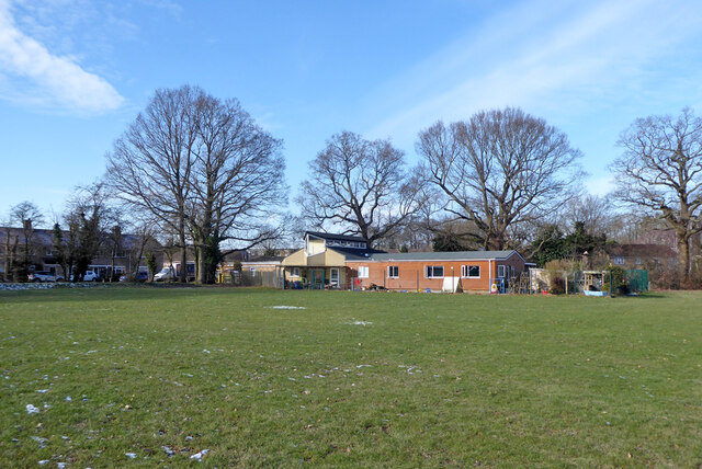
Image: © Robin Webster Taken: 12 Feb 2021
It seems to be hijacked and fenced off for a child care function.
Images are licensed for reuse under creativecommons.org/licenses/by-sa/2.0
Image Location
Latitude
51.10521
Longitude
-0.177076