House at Sorel Bungalow
Introduction
The photograph on this page of House at Sorel Bungalow by Hamish Griffin as part of the Geograph project.
The Geograph project started in 2005 with the aim of publishing, organising and preserving representative images for every square kilometre of Great Britain, Ireland and the Isle of Man.

There are currently over 7.5m images from over 14,400 individuals and you can help contribute to the project by visiting https://www.geograph.org.uk
House at Sorel Bungalow
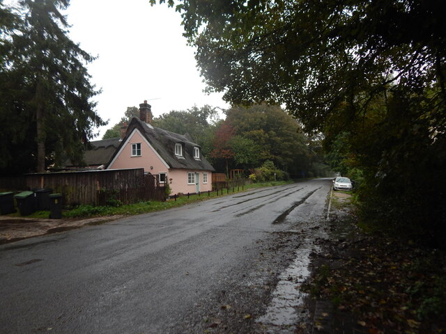
Image: © Hamish Griffin Taken: 13 Oct 2020
On Norwich Road, this is in Sharpstone Street BUA https://www.citypopulation.de/en/uk/eastofengland/suffolk/E34002404__sharpstone_street/ which includes most of Barham parish and had an estimated population of 555 in 2019 though the BUA only appeared a few years ago.
Images are licensed for reuse under creativecommons.org/licenses/by-sa/2.0
Image Location
Latitude
52.123024
Longitude
1.102476