Thorne House
Introduction
The photograph on this page of Thorne House by Ian Capper as part of the Geograph project.
The Geograph project started in 2005 with the aim of publishing, organising and preserving representative images for every square kilometre of Great Britain, Ireland and the Isle of Man.

There are currently over 7.5m images from over 14,400 individuals and you can help contribute to the project by visiting https://www.geograph.org.uk
Thorne House
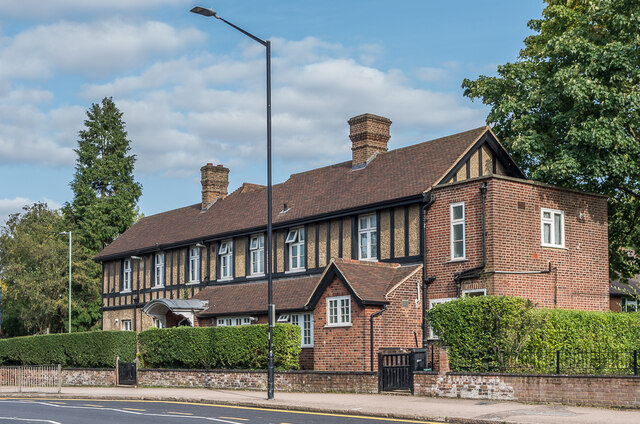
Image: © Ian Capper Taken: 11 Sep 2020
Building towards the northern end of St Peter's Street, on the site of the former Townsend Farm. Its name was taken from a previous building further along the street which had been demolished for the new Post Office built in 1935 - see Image Maps back to the 1898 1:2,500 edition show a similar shaped building (other than later extensions) in the site named Townsend, suggesting that the naming as Thorne House was simply a renaming, with the building itself being late Victorian.
Images are licensed for reuse under creativecommons.org/licenses/by-sa/2.0
Image Location
Latitude
51.757153
Longitude
-0.333899