Causeway, Maidenbower Pond
Introduction
The photograph on this page of Causeway, Maidenbower Pond by Robin Webster as part of the Geograph project.
The Geograph project started in 2005 with the aim of publishing, organising and preserving representative images for every square kilometre of Great Britain, Ireland and the Isle of Man.

There are currently over 7.5m images from over 14,400 individuals and you can help contribute to the project by visiting https://www.geograph.org.uk
Causeway, Maidenbower Pond
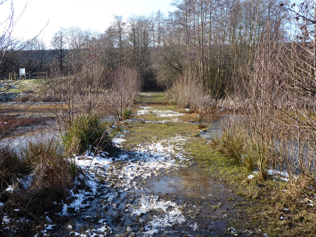
Image: © Robin Webster Taken: 12 Feb 2021
The pond is divided into three by two causeways at normal water levels, that is when not acting as a balancing pond for the Gatwick Stream. The causeways have open channels across them, making a crossing awkward.
Images are licensed for reuse under creativecommons.org/licenses/by-sa/2.0
Image Location
Latitude
51.111945
Longitude
-0.159239