Reform Monument
Introduction
The photograph on this page of Reform Monument by Michael Riddle as part of the Geograph project.
The Geograph project started in 2005 with the aim of publishing, organising and preserving representative images for every square kilometre of Great Britain, Ireland and the Isle of Man.

There are currently over 7.5m images from over 14,400 individuals and you can help contribute to the project by visiting https://www.geograph.org.uk
Reform Monument
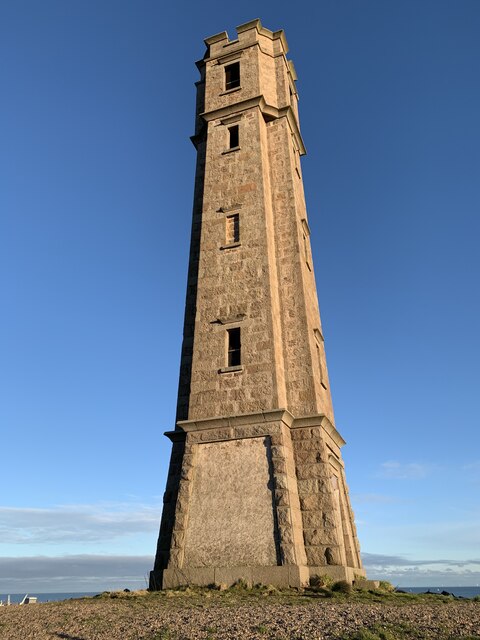
Image: © Michael Riddle Taken: 30 Dec 2020
This tapering tower was built in 1832 by the supporters of the Whig Party to celebrate the passing of the 1832 Reform Act. The tower rises to 58 metres above sea level and has been found to have been built on the site of a prehistoric cist burial.
Images are licensed for reuse under creativecommons.org/licenses/by-sa/2.0
Image Location
Latitude
57.491916
Longitude
-1.799137