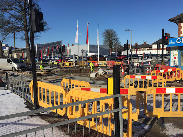
Roadworks, Trenton Avenue, Hull
Introduction
The photograph on this page of Roadworks, Trenton Avenue, Hull by Paul Harrop as part of the Geograph project.
The Geograph project started in 2005 with the aim of publishing, organising and preserving representative images for every square kilometre of Great Britain, Ireland and the Isle of Man.
There are currently over 7.5m images from over 14,400 individuals and you can help contribute to the project by visiting https://www.geograph.org.uk

Image: © Paul Harrop Taken: 11 Feb 2021
Seen during a two-week closure of the junction with Anlaby High Road. Recent resurfacing work uncovered damage to the road's foundations, necessitating these repairs. The work coincided with a report to the council on the state of the city's roads, which is being worsened by extremes of weather and heavier traffic. Councillors were told that "Every single part of our network is red or amber risk in terms of catastrophic failure." The level of investment to catch up on the historic degradation of the network is in the region of £99m. The council has only £6m to deal with such repairs in any one year.

